ThEO
Oceanography and climate
Boris Cisewski
Remote sensing data provide large-scale information on environmental factors such as temperature, salinity and circulation of specific ocean areas. We use them to study the distribution and population dynamics of North Atlantic fish stocks.
Marine ecosystems are dynamic systems that change continuously under the influence of a wide variety of external factors and play a major role in determining how fish and other living marine resources are distributed and develop within them. The underlying physical processes in the ocean occur on horizontal and vertical scales ranging from millimeters to thousands of kilometers and on time scales ranging from milliseconds to decades.
In order to study them with sufficient precision, it is necessary to select survey design and investigation methods that allow the relevant scales to be resolved spatially and temporally. In order to distinguish whether climate changes are man-made or due to natural variability, and to investigate their influence on fish species and their life stages, direct observations, results from regional and global circulation models, and increasingly remote sensing data are used at the Thünen Institute.
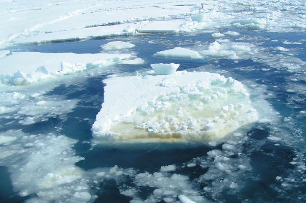
Satellite-based remote sensing has become very important in oceanography in the last four decades because it enables large-scale measurements of many oceanographic parameters that complement ship-based measurements. Physical metrics routinely acquired by satellites and used primarily in oceanography include, for example, top water layer temperatures, sea surface slope and inferred current field, sea ice cover, and water constituents derived from sea color, such as chlorophyll.
Our research questions
- What is the influence of environmental parameters and climate change on the distribution and population dynamics of North Atlantic fish stocks?
- Which processes are relevant and on which spatial and temporal scales do they occur?


