Project
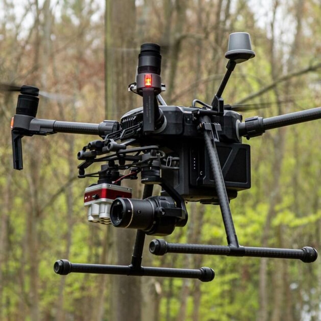
Study on the use of UAVs in forest monitoring

Study on the use of UAVs in forest monitoring
The use of UAV for forest monitoring is of great interest to various forestry-related research institutes on an international level. Due to the high costs and limited resolution of aerial imagery derived from satellite and manned-aircraft platforms as well as costly Laser Scanning acquisition methods, UAV photogrammetry provides a cost-effective alternative and enables institutions to acquire data at a high spatial and temporal data entirely in-house. Although cost-effective, the process of acquiring and processing data, in particular for the production of high quality photogrammetric points and multispectral imagery still requires further research especially when a low-cost system (< 30,000 EUR) is implemented.
Background and Objective
Potential outcomes of study:
- Tree Geometries (e.g. individual tree height)
- Automatic Tree stem positioning
- Tree top position and stem position comparison
- Gap coverage
- Cost-effective data acquisition workflow competitive to field methods (also large scale)
- Enhanced possibilities for long term monitoring (all data sets can be processed in the same way retroactively)
- Automized workflow for large scale acquisition
- Field Manual
Approach
At the Lysimeter station in Britz different options of UAV use is tested and the results are compared with terrestrial assessments.
Thünen-Contact

Involved Thünen-Partners
Involved external Thünen-Partners
-
Hochschule für nachhaltige Entwicklung Eberswalde (HNEE)
(Eberswalde, Deutschland)
Duration
10.2017 - 10.2020
More Information
Project status:
finished
Publications
- 0
Krause S, Sanders TGM (2024) European beech spring phenological phase prediction with UAV-derived multispectral indices and machine learning regression. Sci Rep 14:15862, DOI:10.1038/s41598-024-66338-w
- 1
Reder S, Mund J-P, Albert N, Stadelmann C, Miranda L, Waßermann L (2021) Detektion von windgeworfenen Baumstämmen auf UAV-Orthomosaiken mit Hilfe von Neuronalen Netzen. In: FowiTa : Forstwissenschaftliche Tagung - Wald: Wie weiter? ; Book of abstracts, 13. bis 15. September 2021. p 220
- 2
Krause S (2019) Aerial and terrestrial photogrammetric point cloud fusion for intensive forest monitoring. GI Forum 7(2):60-72, DOI:10.1553/giscience2019_02_s60
- 3
Krause S, Strer M, Mund J-P, Sanders TGM (2019) UAV remote sensing data handling: A transition from testing to long-term data acquisition for intensive forest monitoring. J Photogramm Remote Sensing Geoinf Sci 28(39):167-174
- 4
Krause S, Sanders TGM, Mund J-P, Greve K (2019) UAV-based photogrammetric tree height measurement for intensive forest monitoring. Remote Sensing 11(7):758, DOI:10.3390/rs11070758
