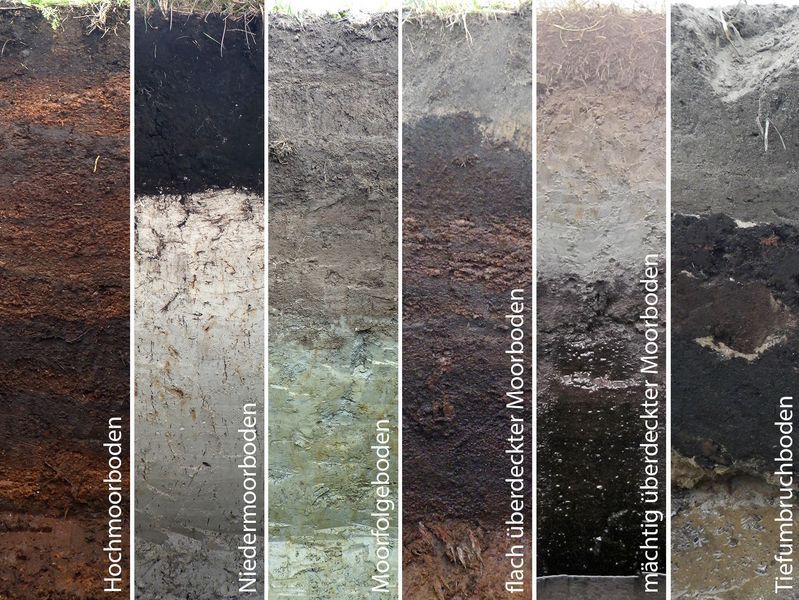
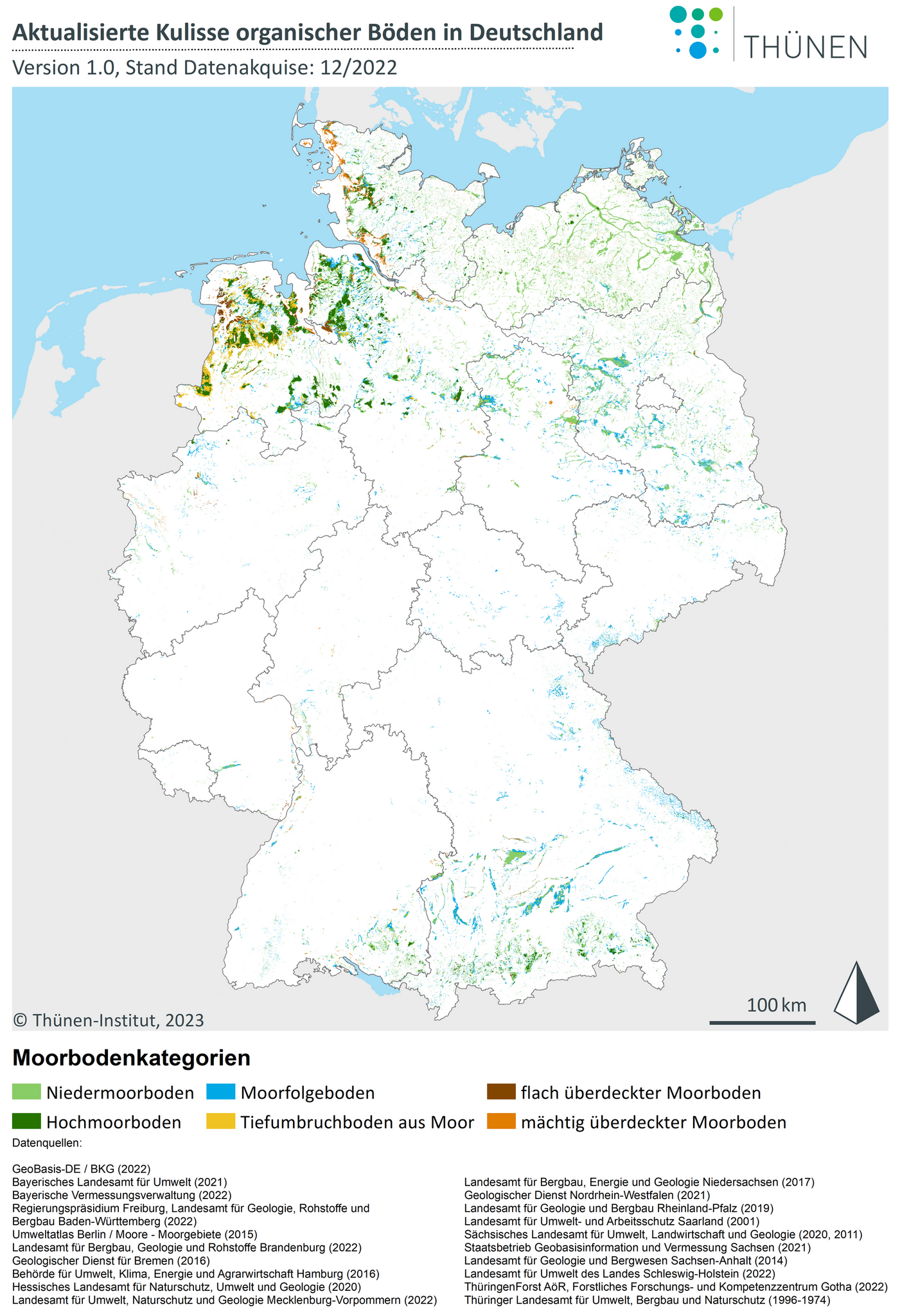
Over the last three years, we have compiled the spatial data on soils and peatlands of all federal states and developed a concept for harmonising them into a standardised map. This is based on emission-relevant profile characteristics, which are described by means of seven features with different characteristics. All data sets were classified in this way, and the first harmonised map in this form was created. It will, of course, be used in the emission reporting and improve the models for drivers of greenhouse gases from organic soils in the future.
The data processing procedure for the harmonisation of all federal state's data sets and the results of the final map are described in detail in the Thünen Working Paper 212 (in German only). In addition, we provide an extensive file appendix, the core of which is the vector data set of the map in shape format. Furthermore, the classification of all input data is described in the appendix to the Thünen Working Paper 212 and also presented in tabular form for each federal state in order to enable transparency and traceability.
Both the Thünen Working Paper 212 and the associating data can be referenced and are freely avalable. Besides, the map is embedded in the ThünenAtlas.
https://www.thuenen.de/media/publikationen/thuenen-workingpaper/ThuenenWorkingPaper_212.pdf
https://www.openagrar.de/receive/openagrar_mods_00087123.
https://atlas.thuenen.de/catalogue/uuid/69cd5d5f-93a2-4ff4-b720-758e36624bb4

![[Translate to English:] [Translate to English:]](/media/_processed_/6/4/csm_titel_CO2Kampagne8_afeea2273e.png)
![[Translate to English:] [Translate to English:]](/media/_processed_/4/1/csm_titel_93px_CO2Kampagne8_9b0f3354d4.png)


