Project
Monitoring biological diversity in agricultural landscapes with remote sensing

Monitoring biological diversity in agricultural landscapes with remote sensing
A long-term monitoring of biological diversity at national level requires a representative data basis about the state and development of agricultural landscape. To achieve this, the project MonViFE develops spatially explicit indicators of landscape structure and land-use intensity.
Background and Objective
The maintenance and increase of biodiversity in agricultural landscapes built a major goal of the “agri-environment-climate measures” (AECM) in the context of the Common Agricultural Policy (CAP) of the EU. Biological diversity is closely related to the existence of habitat features that meet the requirements of different taxonomic groups. Single groups in most cases show individual criteria. Thus, a monitoring of habitat features must be tailored to a distinct set of target groups.
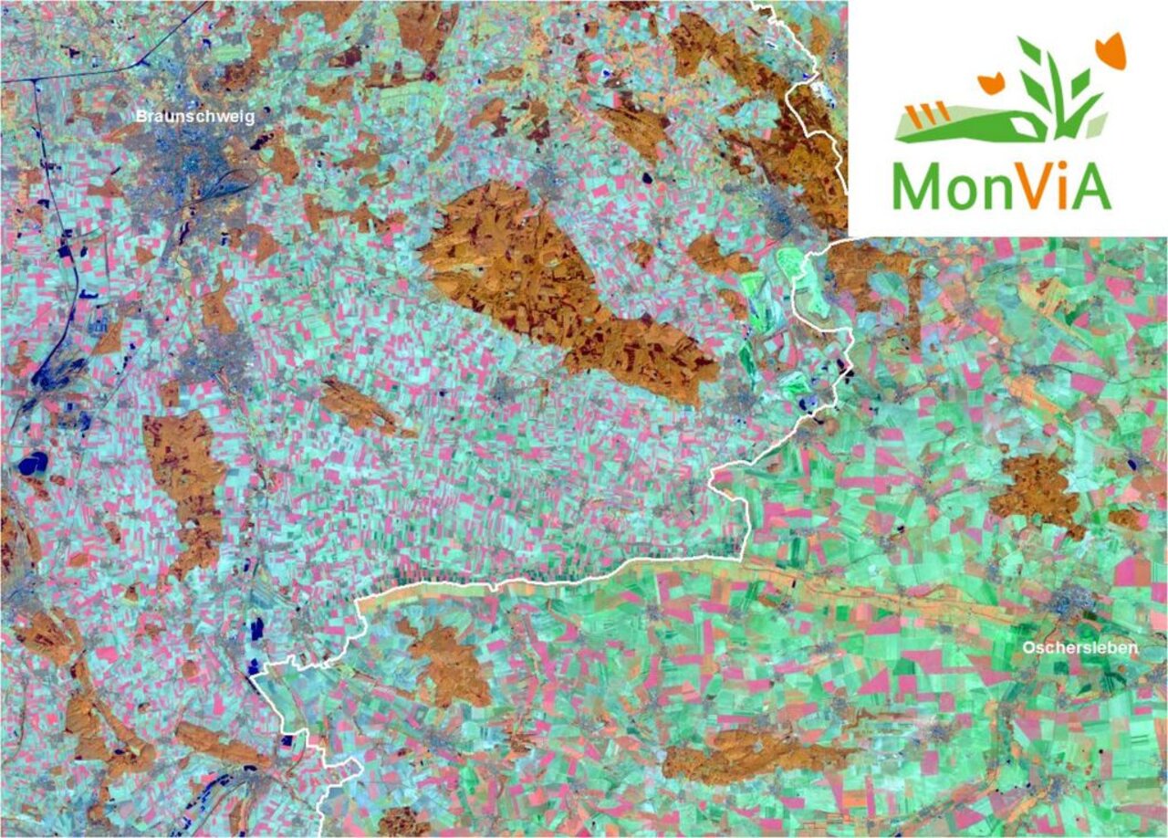
Satellite data, today, are not (yet) able to detect single individual plants or insects. But, they are capable of mapping defined habitat features at large spatial scales that provide information about the nature value of single fields or landscapes.
The overall goal of the project is the setup of an area-wide, spatially explicit trend monitoring at national level for the quantitative analysis of landscape structure and agricultural land-use intensity within these landscapes. For this, a set of indicators will be established that covers a variety of aspects at landscape (landscape structure, landscape elements) and field level (management intensity) in cropland and grassland areas. The Sentinel earth observation satellites (i.e. Sentinel-1 and -2) of the Copernicus-program from European Space Agency (ESA) provide the basis for this spatial modelling approach in a nation-wide monitoring project.
Approach
The coordination of works is done close cooperation with Julius Kühn-Institute (JKI). Both institutions aim at collaborative development of indicators for the national monitoring of agricultural landscapes and at providing the products of the monitoring in the context of a joint infrastrucutre at national level for Germany.
Links and Downloads
The work is part of the interdisciplinary project "MonViA - Monitoring biological diversity in agricultural landscapes".
Thünen-Contact

Involved Thünen-Partners
Involved external Thünen-Partners
- Julius Kühn-Institut - Bundesforschungsinstitut für Kulturpflanzen (JKI)
(Quedlinburg, Braunschweig, Groß Lüsewitz, Kleinmachnow, Deutschland)
Funding Body
-
Federal Ministry of Agriculture, Food and Regional Identity (BMLEH)
(national, öffentlich)
Duration
10.2019 - 12.2026
More Information
Project status:
ongoing
Publications to the project
- 0
Lobert F, Schwieder M, Alsleben J, Brög T, Kowalski K, Okujeni A, Hostert P, Erasmi S (2025) Unveiling year-round cropland cover by soil-specific spectral unmixing of Landsat and Sentinel-2 time series. Remote Sens Environ 318:114594, DOI:10.1016/j.rse.2024.114594
- 1
Pham V-D, Tetteh GO, Thiel F, Erasmi S, Schwieder M, Frantz D, van der Linden S (2024) Temporally transferable crop mapping with temporal encoding and deep learning augmentations. Int J Appl Earth Observ Geoinf 129:103867, DOI:10.1016/j.jag.2024.103867
- 2
Lobert F, Löw J, Schwieder M, Gocht A, Schlund M, Hostert P, Erasmi S (2023) A deep learning approach for deriving winter wheat phenology from optical and SAR time series at field level. Remote Sens Environ 298:113800, DOI:10.1016/j.rse.2023.113800
- 3
Tetteh GO, Schwieder M, Erasmi S, Conrad C, Gocht A (2023) Comparison of an optimised multiresolution segmentation approach with deep neural networks for delineating agricultural fields from Sentinel-2 images. J Photogramm Remote Sensing Geoinf Sci 91(4):295-312, DOI:10.1007/s41064-023-00247-x
- 4
Holtgrave A-K, Lobert F, Erasmi S, Röder N, Kleinschmit B (2023) Grassland mowing event detection using combined optical, SAR, and weather time series. Remote Sens Environ 295:113680, DOI:10.1016/j.rse.2023.113680
- 5
Schwieder M, Wesemeyer M, Frantz D, Pfoch K, Erasmi S, Pickert J, Nendel C, Hostert P (2022) Mapping grassland mowing events across Germany based on combined Sentinel-2 and Landsat 8 time series. Remote Sens Environ 269:112795, DOI:10.1016/j.rse.2021.112795
- 6
Blickensdörfer L, Schwieder M, Pflugmacher D, Nendel C, Erasmi S, Hostert P (2022) Mapping of crop types and crop sequences with combined time series of Sentinel-1, Sentinel-2 and Landsat 8 data for Germany. Remote Sens Environ 269:112831, DOI:10.1016/j.rse.2021.112831
- 7
Lobert F, Röder N, Gocht A, Schwieder M, Erasmi S (2022) Mowing detection from combined Sentinel-1, Sentinel-2, and Landsat 8 time series on fallow cropland with transfer learning. Publikationen der DGPF eV 30:117-126
- 8
Lobert F, Holtgrave A-K, Schwieder M, Pause M, Gocht A, Vogt J, Erasmi S (2021) Detection of mowing events from combined Sentinel-1, Sentinel-2, and Landsat 8 time series with machine learning. Grassl Sci Europe 26:123-125
- 9
Tetteh GO, Gocht A, Erasmi S, Schwieder M, Conrad C (2021) Evaluation of sentinel-1 and sentinel-2 feature sets for delineating agricultural fields in heterogeneous landscapes. IEEE Access 9:116702-116719, DOI:10.1109/ACCESS.2021.3105903
- 10
Lobert F, Holtgrave A-K, Schwieder M, Pause M, Vogt J, Gocht A, Erasmi S (2021) Mowing event detection in permanent grasslands: Systematic evaluation of input features from Sentinel-1, Sentinel-2, and Landsat 8 time series. Remote Sens Environ 267:112751, DOI:10.1016/j.rse.2021.112751
- 11
Schlund M, Lobert F, Erasmi S (2021) Potential of Sentinel-1 time series data for the estimation of season length in winter wheat phenology. In: Institute of Electrical and Electronics Engineers (ed) IGARSS 2021 - 2021 IEEE International Geoscience and Remote Sensing Symposium : proceedings ; 12-16 July 2021, Virtual Symposium, Brussels, Belgium. IEEE, pp 5917-5920, DOI:10.1109/IGARSS47720.2021.9554454
- 12
Holtgrave A-K, Röder N, Ackermann A, Erasmi S, Kleinschmit B (2020) Comparing Sentinel-1 and -2 data and indices for agricultural land use monitoring. Remote Sensing 12:2919, DOI:10.3390/rs12182919
- 13
Schlund M, Erasmi S (2020) Sentinel-1 time series data for monitoring the phenology of winter wheat. Remote Sens Environ 246:111814, DOI:10.1016/j.rse.2020.111814


