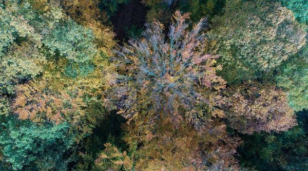
Drones and remote sensing

© Thünen-Institut WO/Öko
By using drones, we supplement our ground surveys with an aerial perspective. This allows us to take images of larger areas and detect damage in the upper crown at an early stage. Furthermore, the drone images enable a link to remote sensing.
Scroll to top

![[Translate to English:] [Translate to English:]](/media/_processed_/9/2/csm_Allgemein_Thueringen_Hainich_Mischwald_Bolte_2__19d9dab56a.jpg)
![[Translate to English:] [Translate to English:]](/media/_processed_/d/2/csm_100_0001_0013_c05c63e7db.jpg)
![[Translate to English:] Logo des Bundesministerium für Ernährung und Landwirtschaft](/media/allgemein/logos/BMEL_Logo.svg)