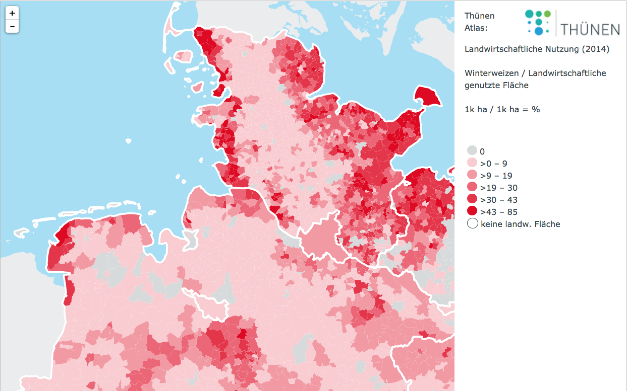
Data on land use and stocking densities is an important indicator for evaluating trends and environmental effects. These statistics are the basis for policy impact assessments such as the EU’s Common Agricultural Policy. However, the access to data at a high resolution like the municipality level is limited.
Additionally, a re-definition of regions (municipal reforms) and a new classification of definition-criteria make a comparison over several years difficult. Consequently, it is difficult to derive a consistent data set over time.
That is, however, precisely the aim of the project “Agraratlas”: By using the Farm Structure Survey, the agricultural statistics and geo-referenced land use data, we want to compile a data set, which allows analyzing trends at municipality level from 1999 to the present.
By means of three evaluation levels, we have visualized the results for the whole of Germany. The first level is based on a consistent regional presentation at county level for the time period 1999 until 2010. This shows especially the development of land use and stocking densities over time. The second level of analysis shows the agricultural land use at municipality level. The maps for these roughly 9,000 spatial units are based estimation methods developed by us. This data set allows for creating meaningful indicators for other spatial units: for example, soil-climate-areas, presented in the third evaluation level.
Please see also: Thünen-Atlas: Agricultural Land Use

![[Translate to English:] [Translate to English:]](/media/_processed_/2/0/csm_LV_Bei_Hornburg_Quelle_Johanna_Fick_neu_da89674833.jpg)
![[Translate to English:] [Translate to English:]](/media/_processed_/2/0/csm_LV_Bei_Hornburg_Quelle_Johanna_Fick_neu_3aae309567.jpg)


