Project
RiMoDi - risk-based monitoring service for the national implementation of the EUDR
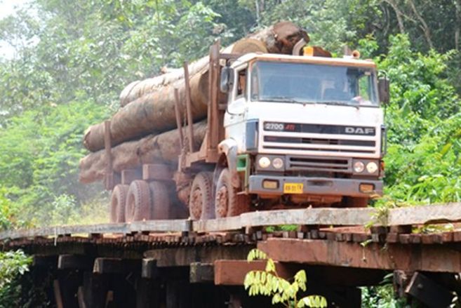
![[Translate to English:]](/media/_processed_/a/2/csm_WW_RiMoDi_1.25_f910436c42.jpg)
Development of a risk-based monitoring service for the national implementation of EU Regulation (EU) 2023/1115 for deforestation-free products
RiMoDi is developing a risk-based monitoring service to verify whether products made available by German market participants on the Union market are free of deforestation and forest degradationin accordance with EU Regulation (EU) 2023/1115 (EUDR).
Background and Objective
The overall objective of the project is to support the national implementation of EU Regulation 2023/1115 for deforestation-free products (hereinafter referred to as EUDR) in Germany. The project aims to develop a risk-based GIS analysis tool in combination with the cloud platform CODE-DE and Copernicus earth observation data (Sentinel 1 and 2). By this means, it facilitates the control by the responsible control authority, the Federal Agency for Agriculture and Food (BLE), whether imported products are deforestation- and forest degradation-free (according to the EUDR definition). The project contributes to the development and implementation of Copernicus services for public needs in Germany.
The project supports the BLE in the fulfilment of its public tasks within the implementation of the EUDR. The project enables the BLE to utilise Copernicus data and services for its control activities and to integrate them into the authority's workflow.
Target Group
Politics, science, public authorities
Approach
RiMoDi is developing a risk-based monitoring service to verify whether products made available by German market participants on the Union market in accordance with EU Regulation (EU) 2023/1115 (EUDR) are free of deforestation and forest degradation. Algorithms for distinguishing different land use types in the sense of the EUDR are implemented in a risk-based GIS analysis tool in combination with the cloud platform CODE-DE and Copernicus Earth observation data (Sentinel 1 and 2). A tool for risk queries is programmed, which enables the integration of land use polygons from an EU information system of companies to be monitored. The system uses risk queries to generate risk information and maps on the presence of deforestation/ forest degradation on the land use areas queried. The system to be developed provides risk assessments at various levels of detail for large volumes of data, for quick checks and for detailed case-by-case checks, as required for official inspections. The computing power is optimized via various process steps from preliminary checks, risk assessment and detailed checks.
RiMoDi supports the BLE as the official control authority for the EUDR in Germany in performing its public task of controlling the absence from deforestation in the sense of the EUDR with the help of remote sensing methods for extensive inspection campaigns. The GIS analysis tool and the CODE-DE-based process chains will be used beyond the project for further land use analyses which will be examined related to the already announced extensions of the regulation. The approach will further serve to answer questions on land use change for science and scientific policy advice.
Links and Downloads
related projects:
BLE information on "Deforestation-Free Products"
Thünen-Contact

Involved Thünen-Partners
Involved external Thünen-Partners
- Bundesanstalt für Landwirtschaft und Ernährung (BLE)
(Bonn, Deutschland)
Funding Body
-
Federal Ministry of Transport and Digital Infrastructure
(national, öffentlich)
Duration
8.2024 - 7.2027
More Information
Project funding number: 50EW2401A
Funding program: DLR - Entwicklung und Implementierungsvorbereitung von Copernicus Diensten für den öffentlichen Bedarf in Deutschland
Project status:
ongoing


