Redfish in the Atlantic (IDEEPS)
Fisheries survey targeting the redfish stocks between Iceland and the Greenland shelf - the International Deep Pelagic Ecosystem Survey (IDEEPS)
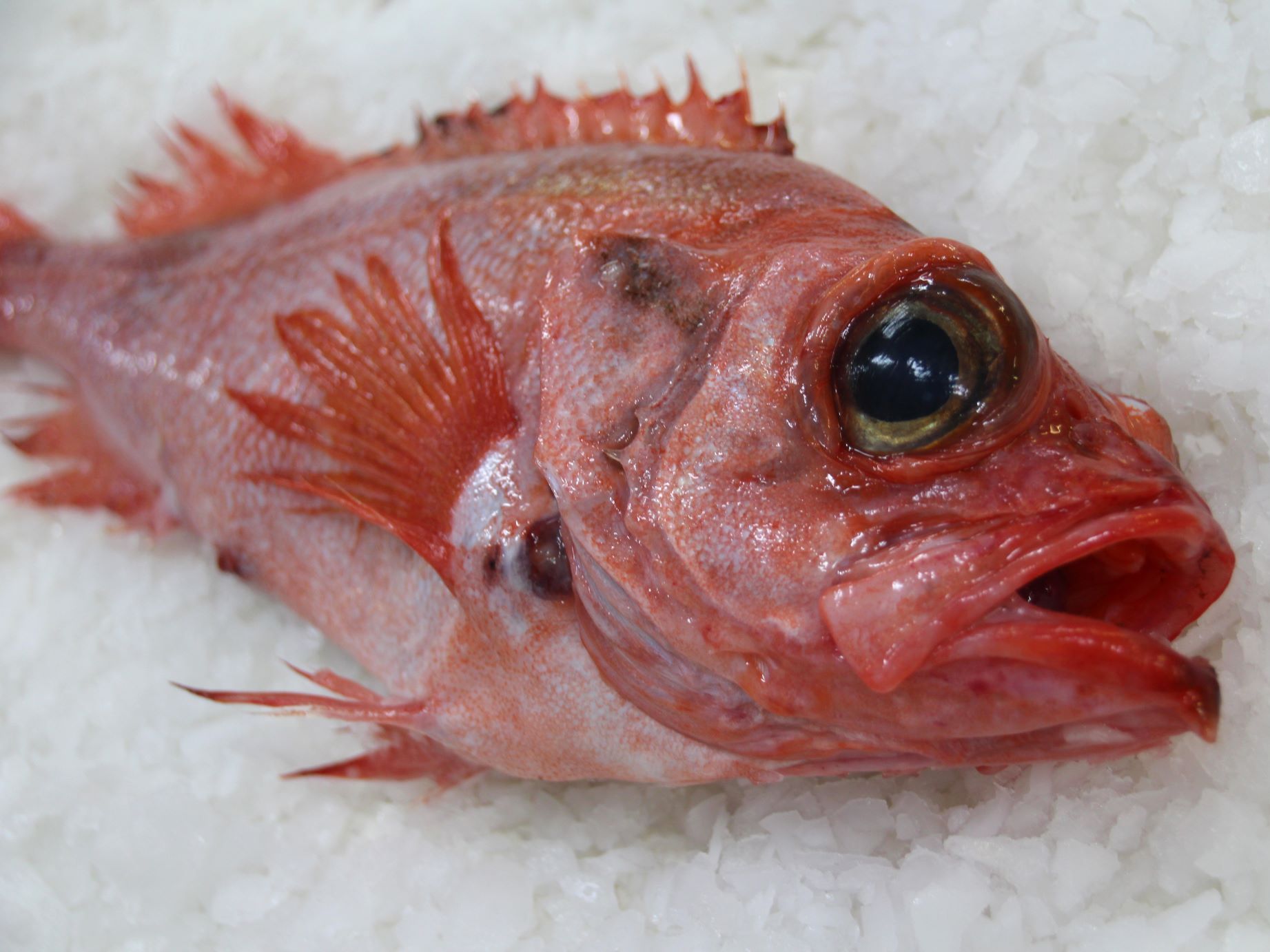
The two stocks of beaked redfish Sebastes mentella are widespread in the North Atlantic. An international hydroacoustic and trawl survey (= International Deep Pelagic Ecosystem Survey) is conducted every third year in the Irminger Sea and adjacent waters to estimate changes in distribution and stock size.
Background and objectives
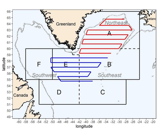
The International Deep Pelagic Ecosystem Survey (IDEEPS) in the Irminger Sea and adjacent waters has been conducted every two years in June/July since 1999 and every three years since 2015. The IDEEPS (International Deep Pelagic Ecosystem Survey) study area is divided into several sub-areas, which are assigned to the participating countries. Germany works mainly in the southern study area (Fig. 1).
Over time, both the horizontal and vertical survey areas have been expanded, as earlier surveys were considered insufficient for stock assessment. In addition, the survey has evolved from a redfish-only survey to an ecosystem-based research cruise.
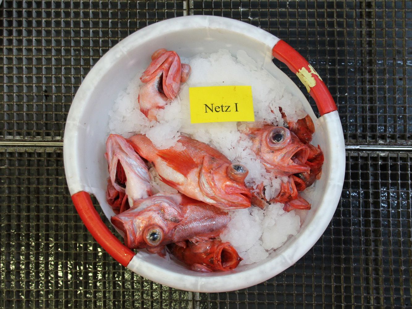
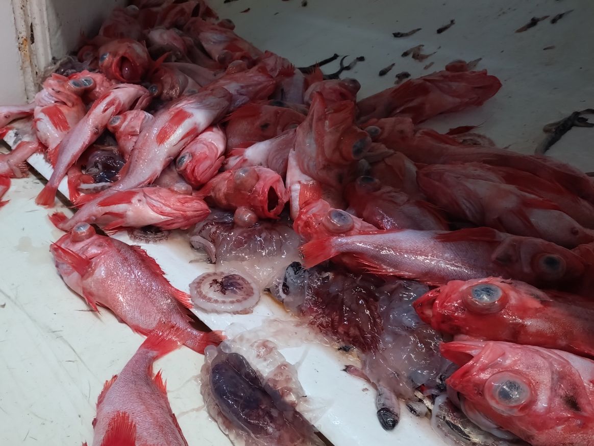
The research objective is to assess the abundance and dynamics of the two pelagic beaked redfish stocks (Sebastes mentella) in the Irminger Sea and adjacent waters ("shallow pelagic stock" and "deep pelagic stock"). The research area covers approximately 400 000 NM² of the Irminger Sea and Labrador Sea. The research is currently being carried out in close cooperation with an Icelandic research vessel within the framework of the International Council for the Exploration of the Sea (ICES). The survey covers the depth horizon from 150 to approximately 1000 metres. While the shallow beaked redfish stock, which dwells above the deep scattering layer (DSL) to a maximum depth of 500 m, is surveyed using hydroacoustics and trawl catches, the estimate of the deep redfish stock within and below the DSL (> 500 m depth) is based exclusively on unit catches with a pelagic trawl.
We have been participating in this survey with our research vessels since the 1990s and are compiling the data collected for Germany as part of the EU Data Collection Programme (DCF) as a contribution to the stock assessment of these two redfish stocks in the Irminger Sea and adjacent waters - the so-called International Deep Pelagic Ecosystem Survey (IDEEPS).
This information is used within ICES to provide scientific advice on catch levels.
Approach
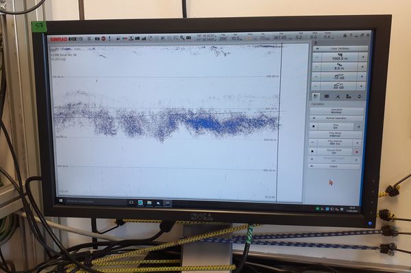
This stock assessment is based on hydroacoustic data collected continuously by scientific echosounders. Echo sounders emit sound pulses into the water, which are reflected by the seabed and various marine organisms. The distribution and overall strength of the measured echoes can be used to calculate the abundance of redfish. Hydroacoustic data are the most suitable basis for quantitative surveys of schooling fish. Redfish in the Irminger Sea cannot be considered a typical schooling fish, such as herring or sprat, because although they occur in large schools in the Irminger Sea, the distances between individual fish are much greater.
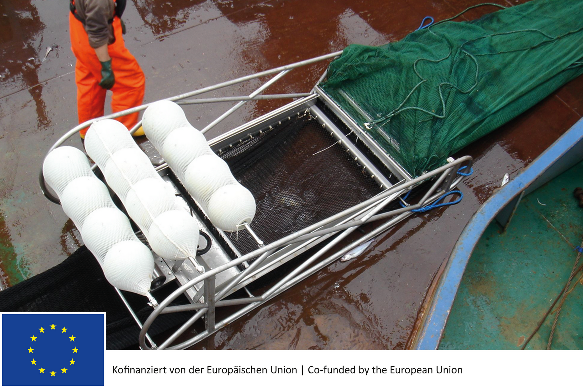
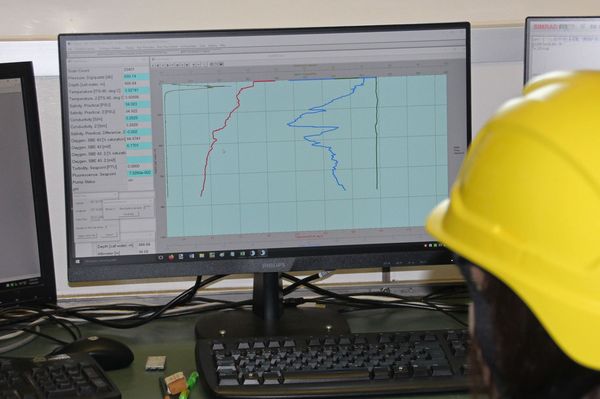
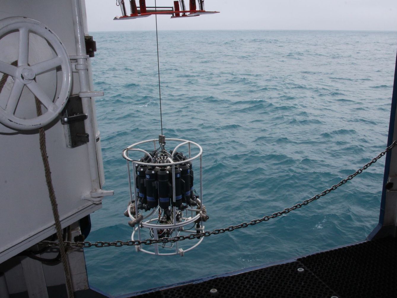
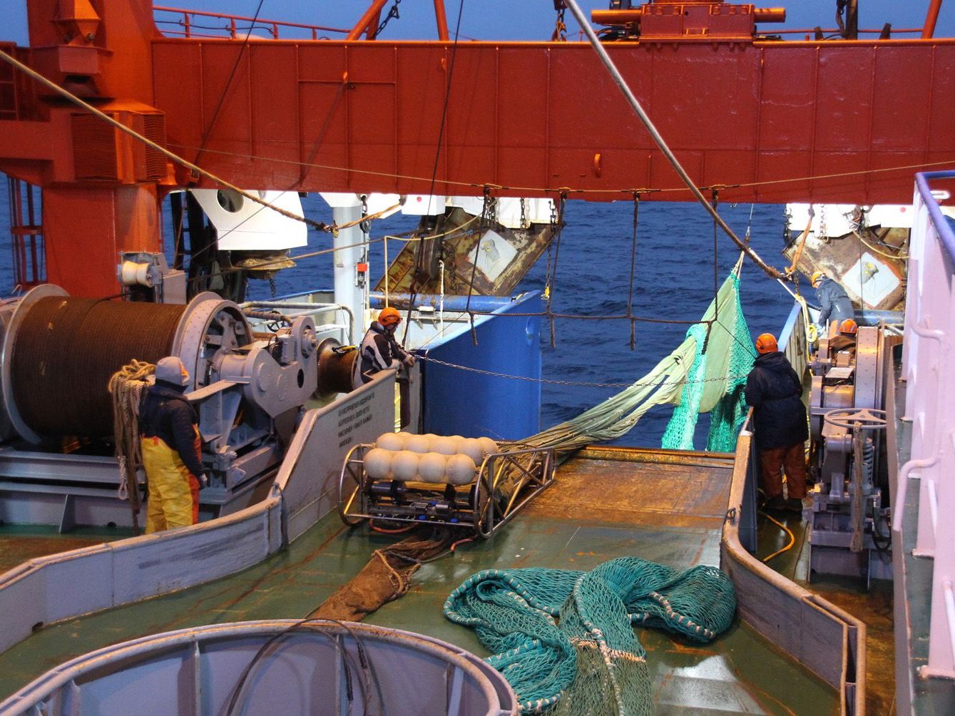
During the data collection at sea, our research vessel 'Walther Herwig III' sails at a constant speed of 10 knots on pre-defined courses (= transects). Hydroacoustic data are continuously recorded with echosounders. Each transect is also trawled at various depths up to 900 metres. In addition, the environmental parameters of temperature, salinity and oxygen will be measured at each station and at regular intervals along the transects in the survey area to a depth of 1000 metres using a hydrographic CTD probe.
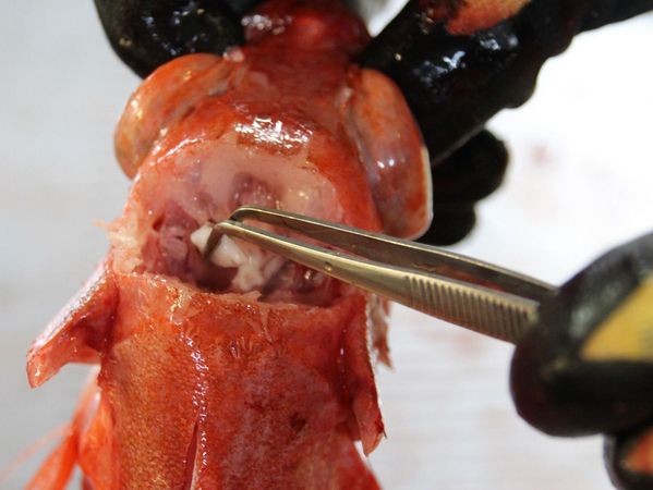
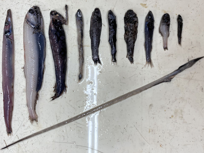
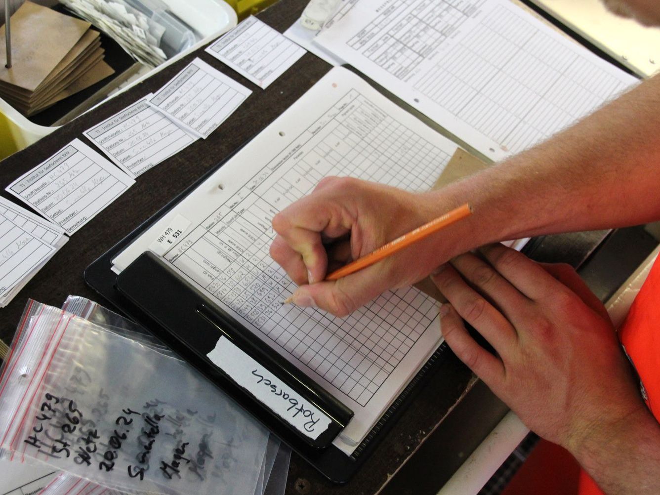
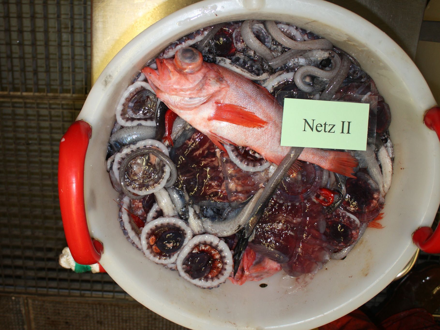
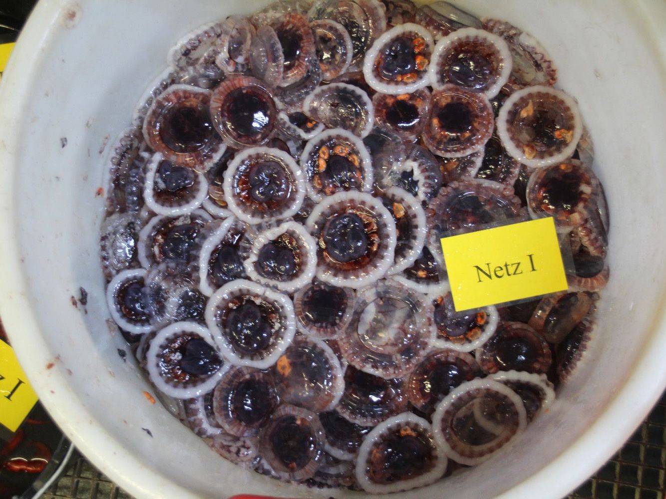
In addition, targeted pelagic trawls collect biological data on length, weight, sex and maturity of individual species, as well as the age structure of the stocks. These data, in combination with acoustic data, can be used to calculate the total biomass of redfish in the study area. In the depths within and below the DSL (> 500 m depth), the estimate of the deep pelagic beaked redfish stock is based solely on pelagic trawl catches.
The survey is coordinated by WGIDEEPS - the ICES Working Group on International Deep Pelagic Ecosystem Surveys.
Once the data collection at sea has been completed and all the hydroacoustic and catch data have been analysed, this scientific working group of cruise leaders and principal investigators meets for an evaluation meeting where all the national results are collated and jointly analysed. This results in a combined abundance and biomass index for the entire survey area for both redfish stocks.
Contact person

- Phone
- +49 471 94460 249
- matthias.bernreuther@thuenen.de

![[Translate to English:] [Translate to English:]](/media/_processed_/7/1/csm_IMG_7977_large_1defaf5de1.jpg)

