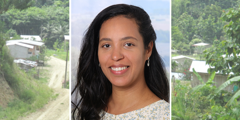
Juliana Freitas Beyer studied Biology at the State University of Feira de Santana in Brazil). At the end of her Bachelor studies, she realized a strong interest in forestry, GIS and environmental monitoring. She then pursuit two exchange periods abroad, one at the University of Évora, Portugal, focusing on ecology and biodiversity conservation, and the second one at the University of Van Hall Larenstein and Wageningen University, Netherlands, in the field of Tropical Forest Management. She continued her MSc. studies in Sustainable Resource Management at the TU-München focusing on landscape management, remote sensing and GIS. Thereafter, she worked for a period of two-years in a REDD+ project coordinated by GAF AG, a company which provides geospatial solutions using remote sensing applications among others. She is currently finalizing her PhD at the University of Hamburg under the cluster of Excellence CLICCS dealing with the modelling of climate change and landscape dynamics.
Along her professional path, Juliana Freitas Beyer acquired technical expertise in the field of geospatial analysis, mapping and remote sensing-based applications through hands-on experience in various countries, including Brazil, Suriname, Portugal, Spain, Germany, Ethiopia, Cameroon, Tanzania, Indonesia and South Asia, with a particular focus on Nepal.
In her new position at the Thünen Institute, she will be working as a spatial data analyst for the research project "GEOSpatial remote sensing-based detection of land use change in support of the EU regulation on deforestation-free supply chains (GEOS-EUDR)," funded by BMZ. The project supports the implementing of the new EU regulation on deforestation-free supply chains (EUDR) by using earth observation products and geospatial analysis, to provide advice to relevant stakeholders such as national competent authorities, NGOs and other actors.
Juliana Freitas Beyer - new staff member
Scroll to top


